More People, More Active, More Often

Orienteering

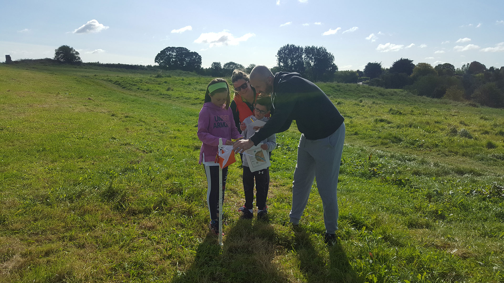
Orienteering is a fantastic outdoor activity that combines running/walking with navigation (traditionally using a map and compass). Participants use their speed and coordination to locate a number of flags located around a course in the shortest time possible. Meath LSP are delighted to now have 6 mapped orienteering courses across Meath. To celebrate this we are hosting two Come & Try Orienteering Events.

“Come & Try Orienteering” events taking place in

  • Deerpark, Carlanstown – Wednesday 5th July from 6-8pm REGISTER HERE (SOLD OUT)
  • Laytown/Seanfield Beach – Wednesday 19th July from 6-8pm REGISTER HERE (SOLD OUT)

Both events are free of charge but registration is essential – please register on the above links

All new Orienteering locations include the latest MapRun virtual courses making the activity accessible to anyone at anytime. Each location includes a Short, Medium and Long map with some including a Score Map. Participants are invited to download MapRun app on to their smartphone and follow the guided instructions.

Many mapped locations are inclusive with courses suitable for buggies and wheelchairs

Traditional and MapRun virtual courses are now available in all of the following locations:

MapRun Orienteering is available to individuals, families and also larger groups from Schools, Community and Youth Groups and Age Active and Disability Groups. Each course is designed to include all levels of fitness and ability.  For more details contact Lisa at lodowd@meathcoco.ie


Orienteering

What is MapRunF Orienteering?

The new MapRunF app allows participants to go Orienteering with virtual mapping. MapRunF app can be downloaded on to your phone and provides a list of mapped courses available in your area. This means there are no flags or equipment allowing you to go orienteering anytime that suits and logging your orienteering times on your phone.

MapRunF is an Android/iOS orienteering app that provides GPS based punching and timing for orienteering courses. This guide aims to provide a quick introduction to installing and using the MapRunF app, along with links to additional sources of information.

How does it work?

When a runner runs with the MapRun App, with an Event selected:
  • The App tracks their location (without displaying it)
  • It continually compares their location with the Latitude and Longitude of control locations contained in the Course File for the event
  • If the distance to a control is less that 10 metres, the App records a punch on that control
  • Events are started and finished by visiting the Start and Finish punches
  • At the end of the event, the “rules” for the event type are applied to determine a result:
    • This includes checking for the correct sequence of controls for a line course, and
    • Calculating a score for score courses
  • The runner’s result file and track are automatically uploaded to the MapRun server at the end of the run
  • The runner’s result is merged with other results for this event and displayed on the phone and on the website.
  • Runners can alternatively run just with a GPS watch and upload their track for a result to be determined.

Quick Guide

MapRun is easy to use. Install the free MapRun app for iOS or Android:
  • Maprun is easy to use.
  • In most cases the Finish is in the same place, but MapRun should not punch the Finish if you have not visited a least one checkpoint.Start the App
  • Enter your Name – to be used with your results
  • Tap Select Event and browse to the event you are looking for
  • Alternatively, tap Events Near Me to display a list of events near your current location
  • Tap  Goto Start to see the map and course
    • ​If the organiser has locked the event, you may need to enter the 4-digit PIN that has been set​
  • ​Now tap Start GPS. It may take your GPS a moment or two to locate enough satellites, in which case you’ll get a ‘Waiting for GPS signal’ message.
  • Once the GPS is live, you need to run or walk through the Start to trigger the course timer.
    • Remember that you need to pass through the Finish to stop the timer.
    • At the finish, MapRun will automatically upload your results, or you can do it yourself. You can also
  • Finally, you can compare your results with others on the same course, and view the route you took. ​
    • See the Results page for more information on the results and tracking service.​
Orienteering Tutorial
Please see the tutorial video below for step by step guidelines on how to download and operate the app:

*Please ensure you follow up to date guidelines from the HSE on social distancing and outdoor activities*

*Please do not travel outside of your 5km travel limit for exercise*